

Transmission line monitoring | Drones

Satellite monitoring of transmission lines

Drone Service
As resistivity increases, there is a rise in temperature in a zone or hotspot, meaning a region with a temperature higher than the temperatures of the remaining areas of the thermogram.
Using drones, we can detect larger land areas in a single day of inspection.


Control and monitoring platform for vegetation advancement through satellite imagery. Transmission lines occupy corridors, which have established boundaries that comply with regulations.
Controlling large land extensions is a challenge; therefore, technology that assists in monitoring advancement is essential to prevent fires and service interruptions.
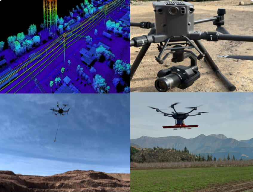
Through flights with a high-end drone, we support the industry in different stages of their processes.